Blog posts tagged with 'gps''
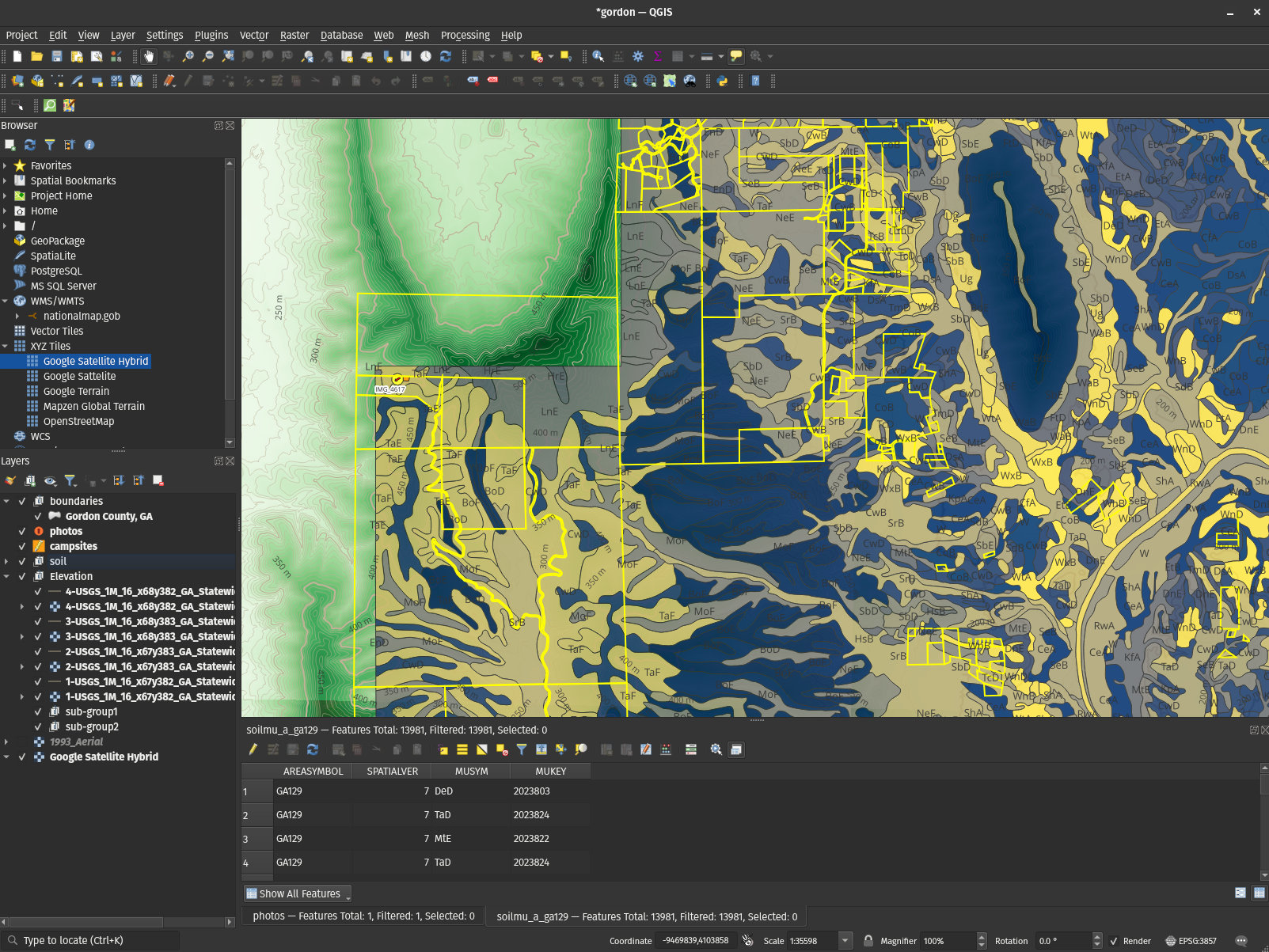
- QGIS is the mapping software you didn't know you needed
2023-01-24: QGIS is incredible: You can build maps that make use of the absolute wealth of public data out there and put Google Maps to absolute shame. This article is doing just that.
qgisgeospatialgpsopen sourcepython
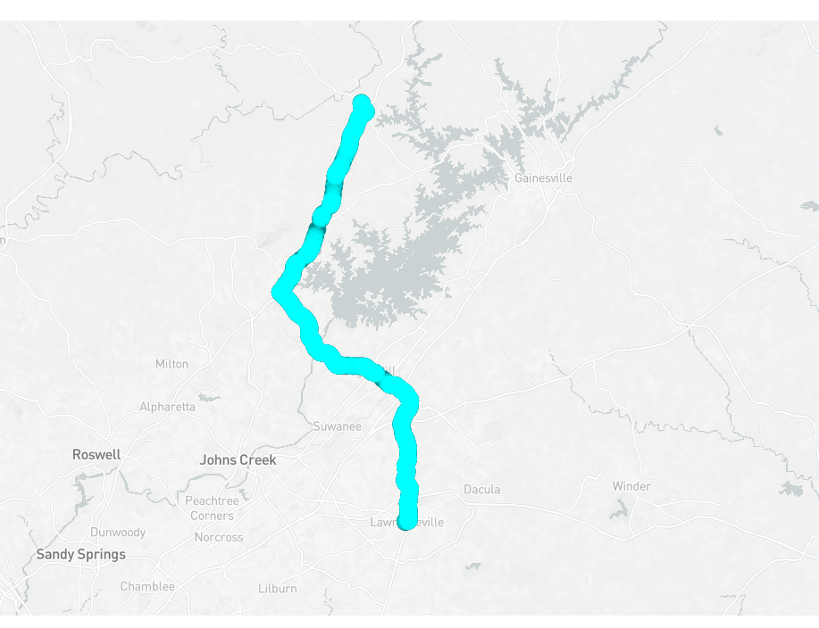
- Tiny Telematics: Tracking my truck's location offline with a Raspberry Pi, redis, Kafka, and Flink (Part 2)
2022-09-08: Tracking vehicle location offline with a Raspberry Pi, Part 2: Apache Flink, scala, Kafka, and road-testing.
scalaflinkkafkastreaminglinuxtelematicsgpstypesfunctional programming
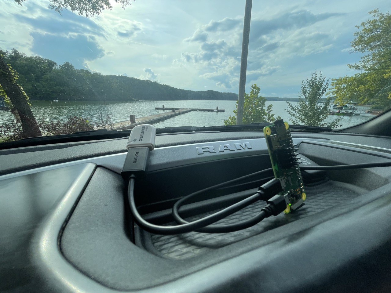
- Tiny Telematics: Tracking my truck's location offline with a Raspberry Pi, redis, Kafka, and Flink (Part 1)
2022-08-29: Building custom Linux images, dealing with a 40 year old GPS standard, & trying to shoehorn functional programming into Python: Tracking vehicle location offline with a Raspberry Pi. (Part 1)
pythonscalalinuxtelematicsgpstypesfunctional programming